The Remote Sensing Research Group (RSRG)
About
The Remote Sensing Research Group (RSRG) is pegged in the university’s core functions of conducting research and consultancy and is housed in the Institute of Geomatics, GIS, and Remote Sensing (IGGReS). RSRG continue to undertake research on the use of Earth Observations (EO) techniques to come up with a solution to the challenges facing local communities as a result of climatic and anthropogenic changes. RSRG has employed the use of citizenly science to reach out and involve the local community in the mapping and presentation of research findings
Research Focus
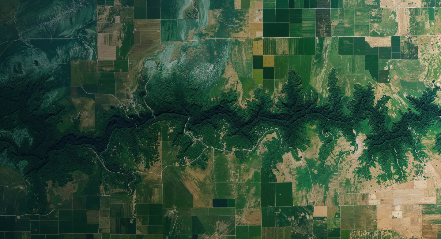
The Remote Sensing Research Group (RSRG) focuses on developing and applying advanced Earth observation technologies to monitor environmental changes, analyze ecosystem dynamics, and support sustainable resource management across multiple domains including agriculture, forestry, hydrology, and climate adaptation.
Agriculture
With a keen focus in Crop Mapping, the Remote Sensing Research Group (RSRG) employs advanced geospatial techniques in agricultural based research. This has enabled farmers to identify crop stress, optimize irrigation, and implement precision farming practices before issues become visible to the naked eye.
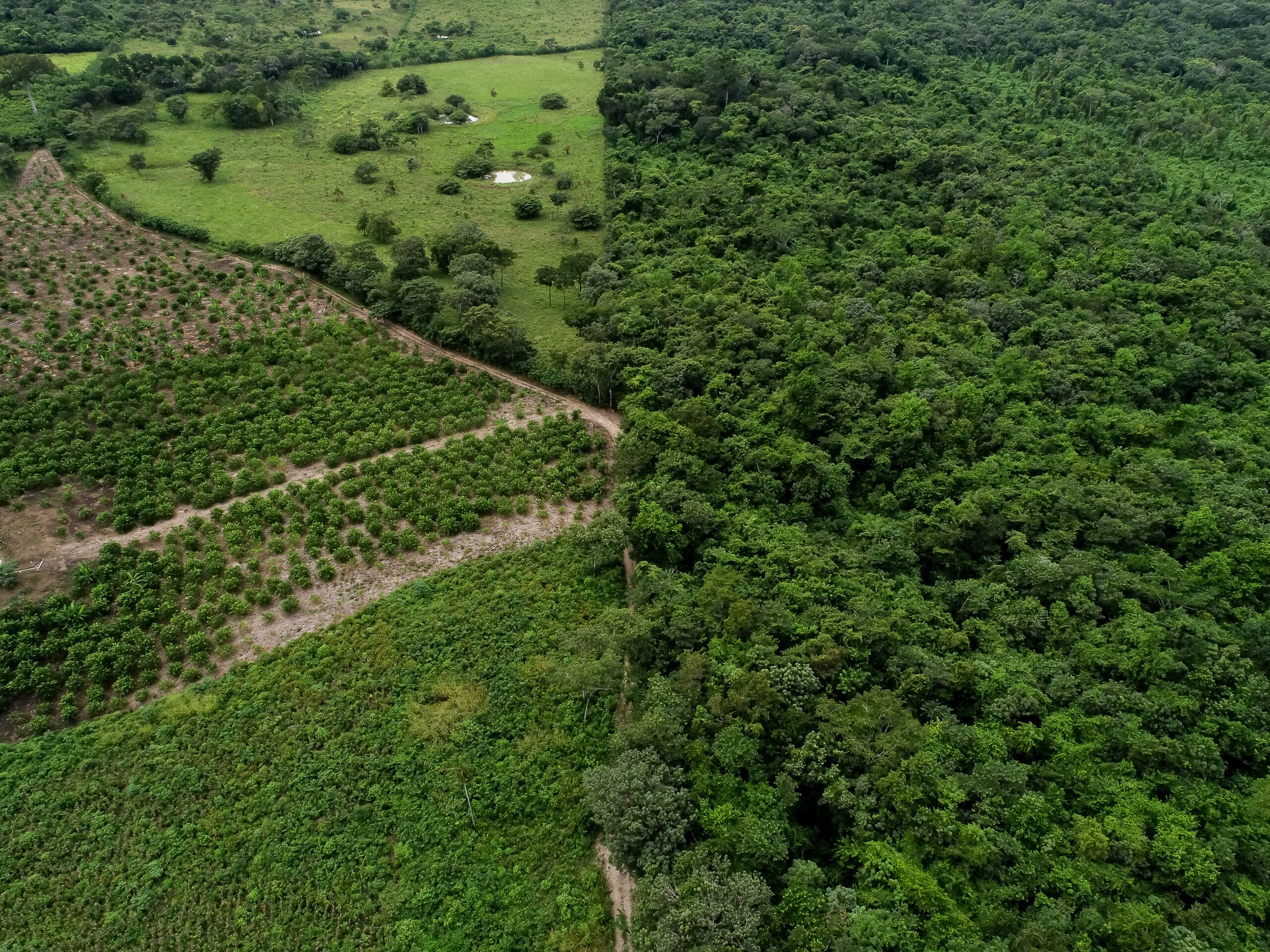
Forest Ecosystem Mapping
The Remote Sensing Research Group (RSRG) employs remote sensing technologies to map and monitor tree species distributions, and forest ecosystem health. This has enabled restoration practitioners to assess recovery trajectories and adapt management strategies based on quantitative data.
Hydrology
The Remote Sensing Research Group (RSRG) employs both EO data and water sensors to monitor watershed dynamics and water resources, providing vital data on soil moisture, groundwater fluctuations caused by climate change, and surface water extent that informs sustainable water management policies across regional and transboundary scales.
Climate Action
The Remote Sensing Research Group (RSRG) utilizes Earth observation (EO) data that enables communities to develop evidence-based climate adaptation strategies by monitoring environmental changes, identifying vulnerable areas, and evaluating the effectiveness of resilience measures over time.
Climate Change Education
Through workshops, and seminars, the Remote Sensing Research Group helps people understand and address the impacts of the climate crisis.
Education & Community Engagement
A key component of our approach involves incorporating citizen science initiatives that engage local communities in data collection and environmental conservation activities. This participatory framework enhances our research capacity while ensuring our work addresses community needs and benefits from valuable local knowledge and observations.
Call To Action
Join us in harnessing the power of remote sensing to address critical environmental challenges—partner with RSRG today to transform satellite data into actionable insights for sustainable resource management and informed decision-making.
Contact
Connect with the RSRG to explore partnership opportunities, or inquire about our research initiatives. Our team is available to discuss how satellite-based monitoring can address your specific environmental challenges.
Address
Office No. 3, IGGReS, Resource Center (RC) 3, DeKUT Main Campus, Nyeri
Email Us
rsrg@dkut.ac.ke