Murang’a County Small-Scale Crop Mapping Phase II (SSCM-II) Project

Project details:
The project seeks to provide valuable data-driven insights and tools that will be used in decision support and policy formulation to better manage the agricultural activities and enhance agricultural productivity in Murang’a County, and subsequently across the country.
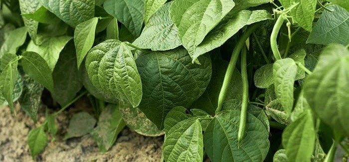
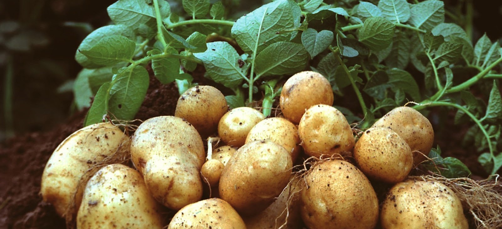
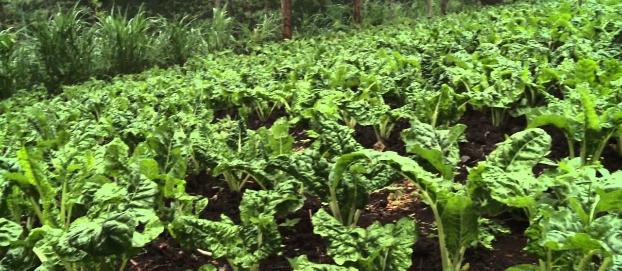
The key objective of the project is to develop a sustainable methodology and workflow for generation of Land Use Land Cover (LULC) maps, crop type maps and crop yield estimation that can be used by policy makers to make informed decisions based on data.This will be achieved by integrating modern technologies and research to develop a methodology that can be scaled to other counties to address diverse agricultural challenges in the different regions and contribute to the overall economic and food security targets of the country.
The project team will explore adopting existing innovative workflows developed by the Copernicus for GEOGLAM (COP4GEOGLAM) and NASA Harvest (OpenMapFlow) model by that has already been tested to review its potential, ease of adoption and accuracy in generating the crop type maps and crop yield forecast.
Project information
- Category Research
- Sponsor Kenya Space Agency
- Project Status Ongoing